

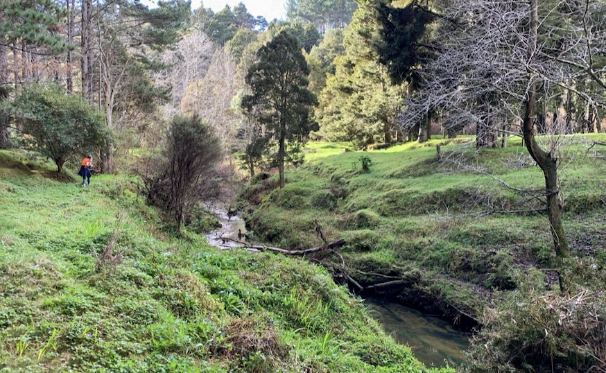
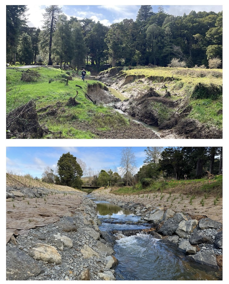
Kaipara Harbour, New Zealand’s largest estuarine ecosystem, is a vital habitat for aquatic species but faces threats from high sediment and nutrient loads that reduce water clarity and bury juvenile snapper habitat. To address this, Auckland Council partnered with local iwi, landowners, and our team of channel stability specialists, using the bank-stability and toe-erosion model (BSTEM) to identify and rehabilitate actively eroding banks in the catchments feeding into the harbor.
We modeled long-term erosion rates, conducted soil tests to assess resistance, and analyzed root-reinforcement from native plants, integrating these data to guide management decisions. Three pilot sites were selected to test geomorphically effective management solutions (GEMS), which include bank battering, riparian planting, and toe protection using fallen trees. Conceptual plans and final designs for these interventions were developed and implemented in 2024.
This innovative approach is helping Auckland Council and the community reduce sediment entering Kaipara Harbour, protecting seagrass beds and snapper habitat for the future.
Learn more about the project: Hōteo River – Bank Erosion Geomorphic Solutions
Comments are closed